Lot size
1304 m²
Type
Land
The ROPV, Aruba's spatial development plan, gives every area a designation that governs how the land there may be used.
Rules for this designation → · More about the ROPV →
Derived from the public ROPV map (2021) using this listing's coordinates, and may not be accurate. Verify with the government before relying on it.
Property Highlight
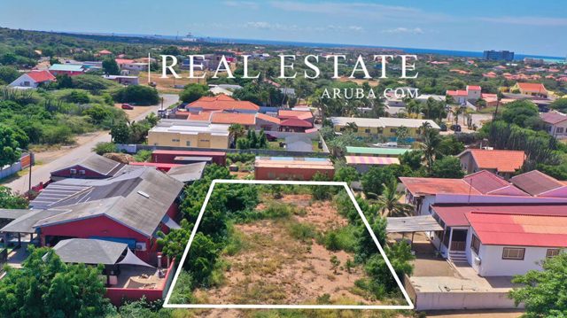
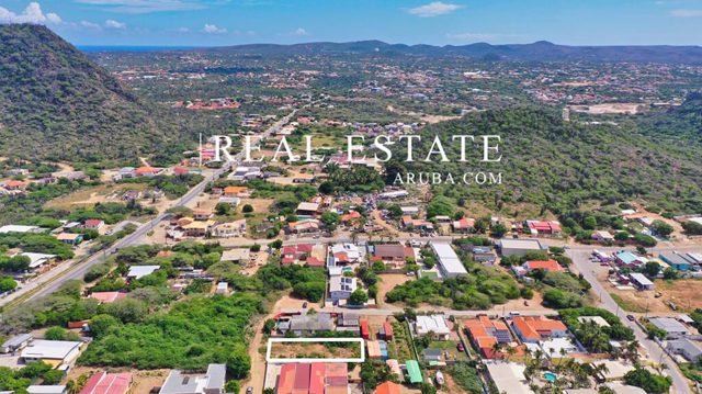
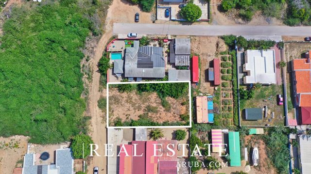
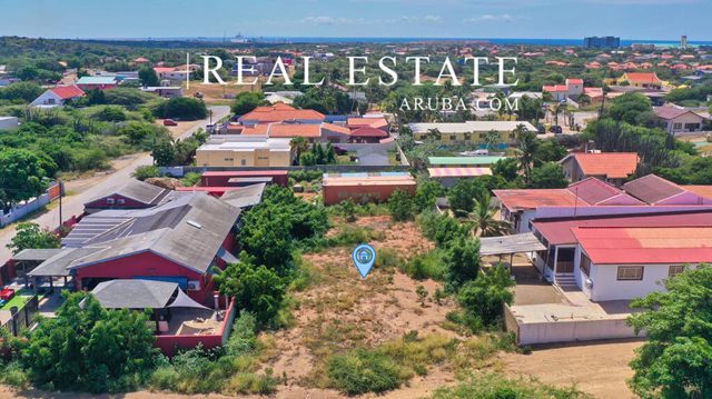
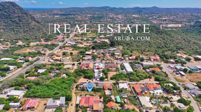
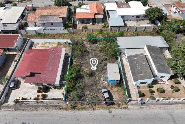
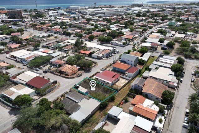
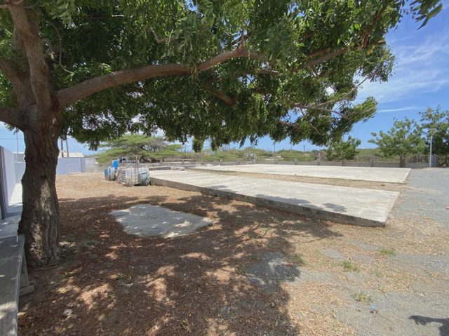
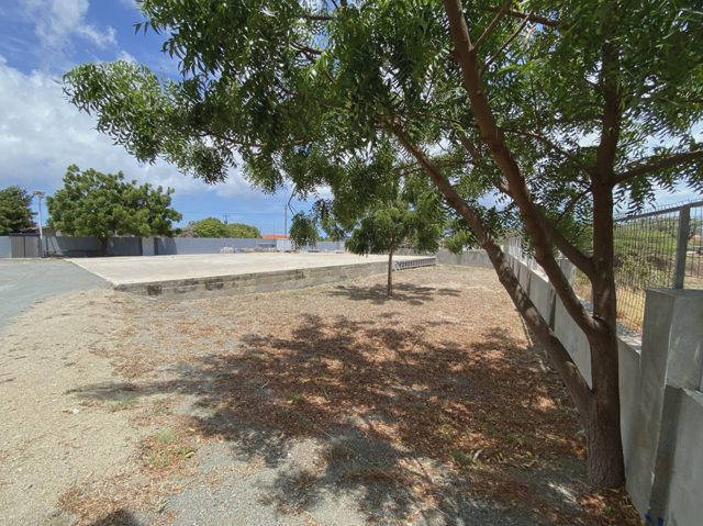
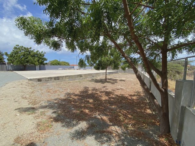
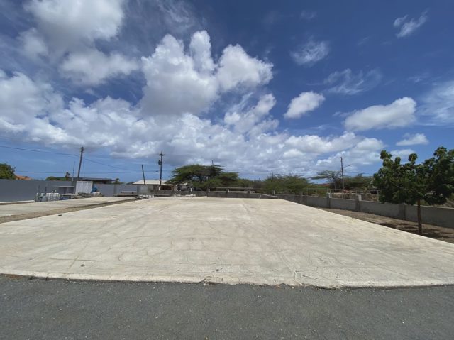
Two private plots totaling 1304 square meters sit at the corner of van Eekhoutstraat, Kwartsstraat, and van Dragstraat in the Klip/Mon Plaisir area of Oranjestad. The land is situated on an asphalted public road within a residential district.
Written by AI from the listing's details, and may contain mistakes.
Description
Two Plots of Private Property land, (Eigendom) measuring total 1.304m2 (3912 square feet), (652m2 + 652m2) located at an asphalted public road, and is located at the corner of: van Eekhoutstraat/Kwartsstraat/ van Dragstraat, without number, Klip/Mon Plaisier area, Oranjestad.
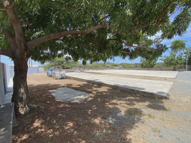
Private property land 1304 M² Ideal for construction of 2 houses Located in Residential area in Oranjestad.
Price history
| Date | Event | Price |
|---|---|---|
| Oct 22, 2026 | Sold Listed by ABLE Realty | AWG 392,000 |
Nearby schools
- Pre-school Scol Preparatorio Santa Jacinta (0.9 km)
- Primary school Mon Plaisir Kleuter- en Basisschool (0.3 km)
- MAVO Mon Plaisir College MAVO (0.3 km)
- HAVO/VWO Avondhavo/-vwo (0.3 km)
- EPB/Vocational EPB Oranjestad (3.5 km)
- Special education Scol Paso pa Futuro (1.9 km)
- International/private school International School of Aruba (2.6 km)
Nearby amenities
- Supermarket Mirch Masala Cash and Carry (0.5 km)
- Convenience store Dakota (0.6 km)
- Coffee shop Café The Foyer Aruba (0.2 km)
- Pharmacy Botica Dakota (0.5 km)
- ATM CMB ATM (0.4 km)
- Bank Banco di Caribe (Aruba) NV (0.8 km)
- Gas station Caya Grandi Service Station (1.1 km)
- Gym House of Pain (0.3 km)
- Beach Surfside Beach (0.5 km)